
Allenstown topographic map
Interactive map
Click on the map to display elevation.
About this map
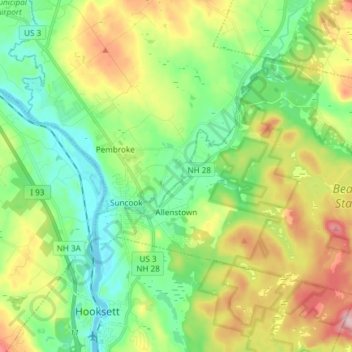
Name: Allenstown topographic map, elevation, terrain.
Location: Allenstown, Merrimack County, New Hampshire, United States (43.10197 -71.46635 43.17532 -71.31756)
Average elevation: 130 m
Minimum elevation: 53 m
Maximum elevation: 274 m