
Cleburne topographic map
Interactive map
Click on the map to display elevation.
About this map
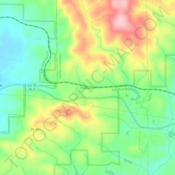
Name: Cleburne topographic map, elevation, terrain.
Location: Cleburne, Cleburne County, Alabama, United States of America (33.62816 -85.64968 33.66816 -85.60968)
Average elevation: 305 m
Minimum elevation: 225 m
Maximum elevation: 422 m