Geolocate

BK topographic map

Click on the map to display elevation.

About this map

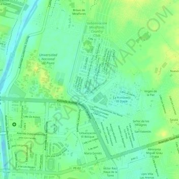
Name: BK topographic map, elevation, terrain.

Location: BK, Castilla, Province of Piura, Piura, 20011, Peru (-5.19148 -80.62121 -5.17148 -80.60121)

Average elevation: 34 m

Minimum elevation: 23 m

Maximum elevation: 44 m

Gear up for your next adventure:

🥤Hiking Water Bottles - Reusable bottles for hydration on the trail
🧴Sport Sunscreen Sticks - High-protection sunblock that won't run into your eyes on the trail
💧Hydration Reservoirs - Convenient water bladders for hands-free drinking on the move
🧭Orienteering Compasses - Accurate compasses for map-based navigation
🥾Men's Waterproof Hiking Boots - Durable footwear with deep lugs for muddy and rocky UK terrains

As an Amazon Associate, this site earns from qualifying purchases at no extra cost to you.