
Sigatoka topographic map
Interactive map
Click on the map to display elevation.
About this map
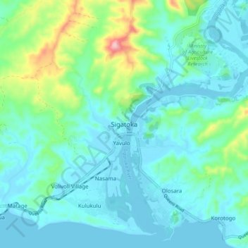
Name: Sigatoka topographic map, elevation, terrain.
Location: Sigatoka, Western, Fiji (-18.17816 177.46778 -18.09816 177.54778)
Average elevation: 49 m
Minimum elevation: -2 m
Maximum elevation: 265 m