
Mohill topographic map
Interactive map
Click on the map to display elevation.
About this map
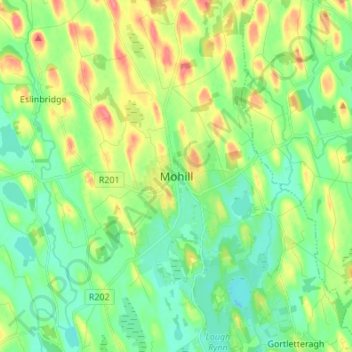
Name: Mohill topographic map, elevation, terrain.
Location: Mohill, County Leitrim, Connacht, Ireland (53.88180 -7.90532 53.96180 -7.82532)
Average elevation: 58 m
Minimum elevation: 35 m
Maximum elevation: 99 m