
Kampung Sungai Tengas topographic map
Interactive map
Click on the map to display elevation.
About this map
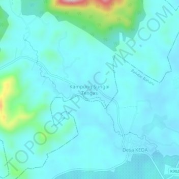
Name: Kampung Sungai Tengas topographic map, elevation, terrain.
Location: Kampung Sungai Tengas, Kulim, Kedah, Malaysia (5.26627 100.65076 5.30627 100.69076)
Average elevation: 54 m
Minimum elevation: 11 m
Maximum elevation: 329 m