
Apgujeong-dong topographic map
Interactive map
Click on the map to display elevation.
About this map
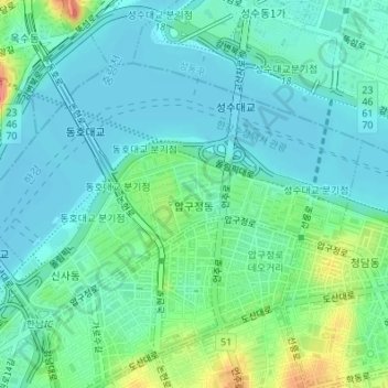
Name: Apgujeong-dong topographic map, elevation, terrain.
Location: Apgujeong-dong, 135-110, South Korea (37.52177 127.01216 37.53998 127.04613)
Average elevation: 21 m
Minimum elevation: 5 m
Maximum elevation: 70 m