
Dhanagadi topographic map
Interactive map
Click on the map to display elevation.
About this map
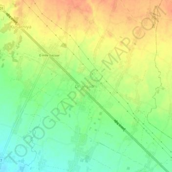
Name: Dhanagadi topographic map, elevation, terrain.
Location: Dhanagadi, Dhangadhi, Dhangadhimai, Siraha, Province #2, Nepal (26.73439 86.38269 26.77439 86.42269)
Average elevation: 135 m
Minimum elevation: 112 m
Maximum elevation: 155 m