
Sungai Asap topographic map
Interactive map
Click on the map to display elevation.
About this map
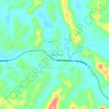
Name: Sungai Asap topographic map, elevation, terrain.
Location: Sungai Asap, Gua Musang, Kelantan, Malaysia (4.93733 102.06292 4.97733 102.10292)
Average elevation: 131 m
Minimum elevation: 89 m
Maximum elevation: 257 m