
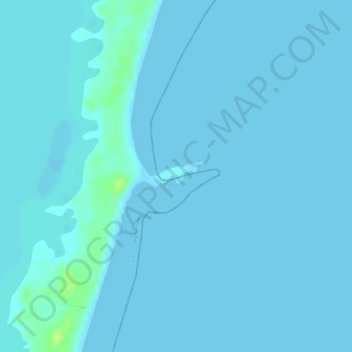
Cabo San Luís topographic map
Interactive map
Click on the map to display elevation.
About this map
Name: Cabo San Luís topographic map, elevation, terrain.
Location: Cabo San Luís, Pedernales, Dominican Republic (17.73815 -71.35720 17.75815 -71.33720)
Average elevation: 2 m
Minimum elevation: 0 m
Maximum elevation: 16 m