
Kinta topographic map
Interactive map
Click on the map to display elevation.
About this map
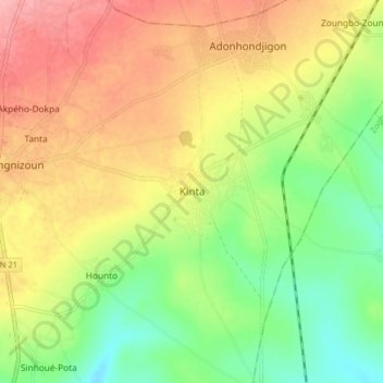
Name: Kinta topographic map, elevation, terrain.
Location: Kinta, Agbangnizoun, Zou, Benin (7.03024 1.96943 7.11024 2.04943)
Average elevation: 122 m
Minimum elevation: 70 m
Maximum elevation: 176 m