
Blönduós topographic map
Interactive map
Click on the map to display elevation.
About this map
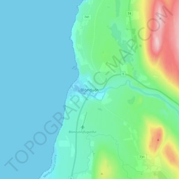
Name: Blönduós topographic map, elevation, terrain.
Location: Blönduós, Blönduósbær, Northwestern Region, 540, Iceland (65.62013 -20.32100 65.70013 -20.24100)
Average elevation: 51 m
Minimum elevation: -1 m
Maximum elevation: 291 m