
Breeding topographic map
Interactive map
Click on the map to display elevation.
About this map
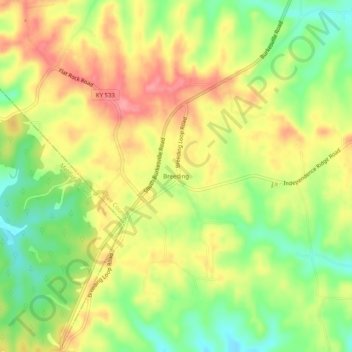
Name: Breeding topographic map, elevation, terrain.
Location: Breeding, Adair County, Kentucky, United States of America (36.93923 -85.45441 36.97923 -85.41441)
Average elevation: 302 m
Minimum elevation: 256 m
Maximum elevation: 345 m