
Rugova topographic map
Interactive map
Click on the map to display elevation.
About this map
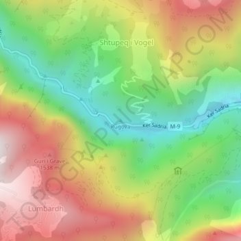
Name: Rugova topographic map, elevation, terrain.
Location: Rugova, Pejë, Municipality of Peja / Peć, Kosovo (42.66347 20.20861 42.66357 20.20871)
Average elevation: 1,146 m
Minimum elevation: 668 m
Maximum elevation: 1,700 m