
Utnoor topographic map
Interactive map
Click on the map to display elevation.
About this map
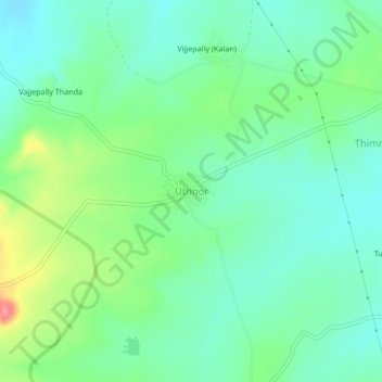
Name: Utnoor topographic map, elevation, terrain.
Location: Utnoor, Sadashivnagar mandal, Kamareddy, Telangana, India (18.42861 78.17816 18.46861 78.21816)
Average elevation: 562 m
Minimum elevation: 537 m
Maximum elevation: 619 m