
Kanjar topographic map
Interactive map
Click on the map to display elevation.
About this map
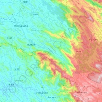
Name: Kanjar topographic map, elevation, terrain.
Location: Kanjar, Pālghāt, Kerala, 685 590, India (9.65787 76.64978 9.97787 76.96978)
Average elevation: 341 m
Minimum elevation: 8 m
Maximum elevation: 1,242 m