
Alexandria topographic map
Interactive map
Click on the map to display elevation.
About this map
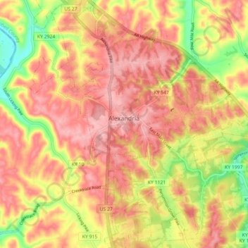
Name: Alexandria topographic map, elevation, terrain.
Location: Alexandria, Campbell County, Kentucky, United States (38.92335 -84.42162 38.99231 -84.33859)
Average elevation: 220 m
Minimum elevation: 140 m
Maximum elevation: 267 m