
Whitney topographic map
Interactive map
Click on the map to display elevation.
About this map
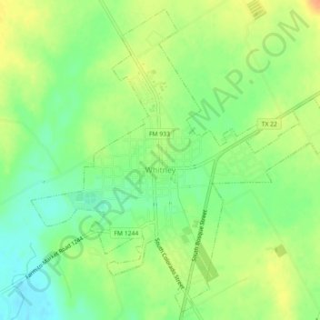
Name: Whitney topographic map, elevation, terrain.
Location: Whitney, Hill County, Texas, United States of America (31.93493 -97.33956 31.97091 -97.29481)
Average elevation: 183 m
Minimum elevation: 164 m
Maximum elevation: 202 m