
Othée topographic map
Interactive map
Click on the map to display elevation.
About this map
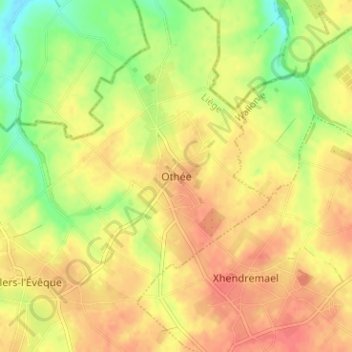
Name: Othée topographic map, elevation, terrain.
Location: Othée, Awans, Liège, Wallonia, 4340, Belgium (50.69593 5.44809 50.73593 5.48809)
Average elevation: 138 m
Minimum elevation: 108 m
Maximum elevation: 156 m