
Uge topographic map
Interactive map
Click on the map to display elevation.
About this map
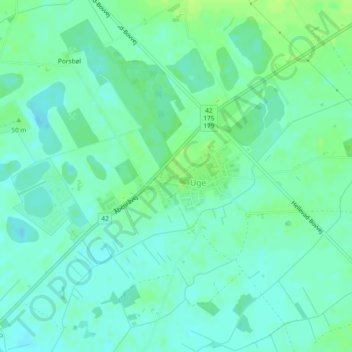
Name: Uge topographic map, elevation, terrain.
Location: Uge, Aabenraa Municipality, Region of Southern Denmark, Denmark (54.96325 9.30206 54.96904 9.31506)
Average elevation: 31 m
Minimum elevation: 25 m
Maximum elevation: 37 m