
Madras topographic map
Interactive map
Click on the map to display elevation.
About this map
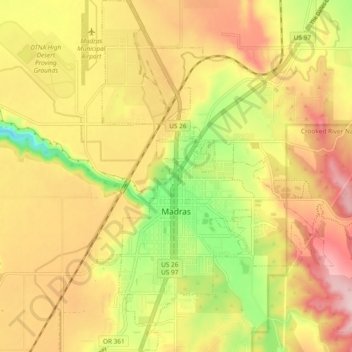
Name: Madras topographic map, elevation, terrain.
Location: Madras, Jefferson County, Oregon, 97741, United States (44.60664 -121.15065 44.67345 -121.08754)
Average elevation: 739 m
Minimum elevation: 618 m
Maximum elevation: 836 m