
Oxford topographic map
Interactive map
Click on the map to display elevation.
About this map
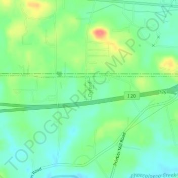
Name: Oxford topographic map, elevation, terrain.
Location: Oxford, Talladega County, Alabama, United States (33.58227 -85.94320 33.58566 -85.94146)
Average elevation: 190 m
Minimum elevation: 168 m
Maximum elevation: 231 m
Other topographic maps
Click on a map to view its topography, its elevation and its terrain.