
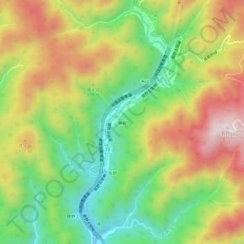
獺越 topographic map
Interactive map
Click on the map to display elevation.
About this map
Name: 獺越 topographic map, elevation, terrain.
Location: 獺越, Shunan, Yamaguchi Prefecture, Japan (34.25623 131.83649 34.29623 131.87649)
Average elevation: 703 m
Minimum elevation: 446 m
Maximum elevation: 1,006 m