
Marstal topographic map
Interactive map
Click on the map to display elevation.
About this map
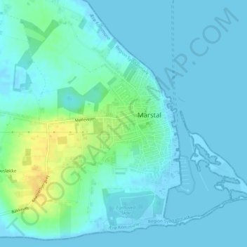
Name: Marstal topographic map, elevation, terrain.
Location: Marstal, Ærø Municipality, Region of Southern Denmark, Denmark (54.84813 10.50153 54.86166 10.52160)
Average elevation: 6 m
Minimum elevation: -2 m
Maximum elevation: 28 m