
Agros topographic map
Interactive map
Click on the map to display elevation.
About this map
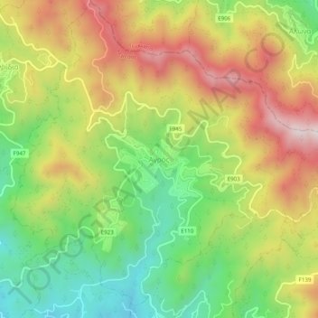
Name: Agros topographic map, elevation, terrain.
Location: Agros, Limassol District, 4860, Cyprus (34.89764 32.99841 34.93764 33.03841)
Average elevation: 1,111 m
Minimum elevation: 812 m
Maximum elevation: 1,456 m