
Waza topographic map
Interactive map
Click on the map to display elevation.
About this map
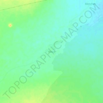
Name: Waza topographic map, elevation, terrain.
Location: Waza, Mayo-Kani, Far-North, Cameroon (10.33592 14.30791 10.37592 14.34791)
Average elevation: 416 m
Minimum elevation: 406 m
Maximum elevation: 431 m