
Vishnupuram topographic map
Interactive map
Click on the map to display elevation.
About this map
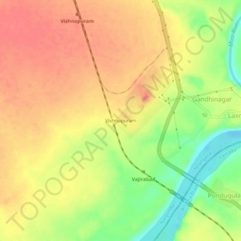
Name: Vishnupuram topographic map, elevation, terrain.
Location: Vishnupuram, Damaracherla mandal, Nalgonda, Telangana, India (16.67216 79.62486 16.71216 79.66486)
Average elevation: 78 m
Minimum elevation: 40 m
Maximum elevation: 102 m