
Edenhope topographic map
Interactive map
Click on the map to display elevation.
About this map
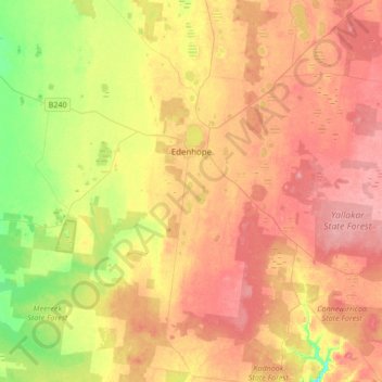
Name: Edenhope topographic map, elevation, terrain.
Location: Edenhope, Shire of West Wimmera, Victoria, 3318, Australia (-37.19121 141.13852 -36.93918 141.47700)
Average elevation: 158 m
Minimum elevation: 104 m
Maximum elevation: 200 m