
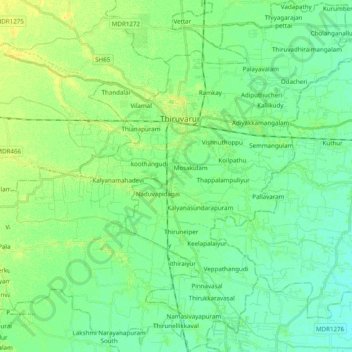
Thiruvarur topographic map
Interactive map
Click on the map to display elevation.
About this map
Name: Thiruvarur topographic map, elevation, terrain.
Location: Thiruvarur, Thiruvarur District, Tamil Nadu, India (10.63973 79.57977 10.83111 79.73126)
Average elevation: 9 m
Minimum elevation: 1 m
Maximum elevation: 19 m