
Jordan Valley topographic map
Interactive map
Click on the map to display elevation.
About this map
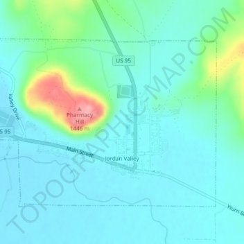
Name: Jordan Valley topographic map, elevation, terrain.
Average elevation: 1,354 m
Minimum elevation: 1,331 m
Maximum elevation: 1,453 m
Other topographic maps
Click on a map to view its topography, its elevation and its terrain.
Basque
United States > Oregon > Malheur County
Basque, Malheur County, Oregon, United States
Average elevation: 1,411 m
Ontario
United States > Oregon > Malheur County
Ontario, Malheur County, Oregon, 97914, United States
Average elevation: 660 m