
Kasal topographic map
Interactive map
Click on the map to display elevation.
About this map
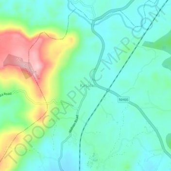
Name: Kasal topographic map, elevation, terrain.
Location: Kasal, Kudal, Sindhudurg, Maharashtra, 416603, India (16.13491 73.66153 16.17491 73.70153)
Average elevation: 85 m
Minimum elevation: 29 m
Maximum elevation: 232 m