
Bhangura topographic map
Interactive map
Click on the map to display elevation.
About this map
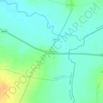
Name: Bhangura topographic map, elevation, terrain.
Location: Bhangura, Bidar taluku, Bidar district, Karnataka, India (17.67394 77.42567 17.71394 77.46567)
Average elevation: 594 m
Minimum elevation: 585 m
Maximum elevation: 615 m