
Stainingsdorf topographic map
Interactive map
Click on the map to display elevation.
About this map
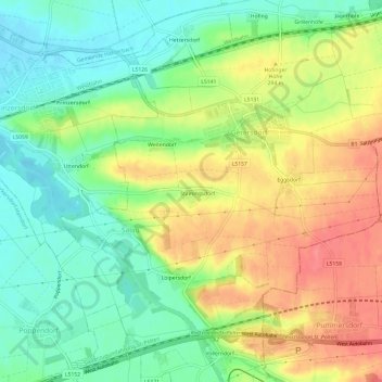
Name: Stainingsdorf topographic map, elevation, terrain.
Location: Stainingsdorf, Bezirk St. Pölten, Lower Austria, 3385, Austria (48.17301 15.52472 48.21301 15.56472)
Average elevation: 279 m
Minimum elevation: 247 m
Maximum elevation: 317 m