
Wayanad Wildlife Sanctuary topographic map
Interactive map
Click on the map to display elevation.
About this map
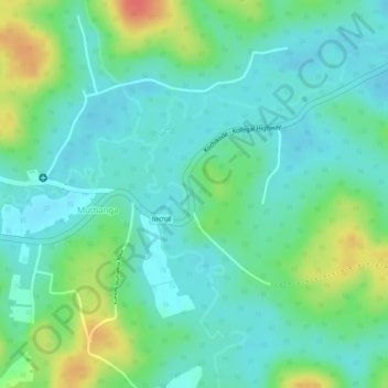
Name: Wayanad Wildlife Sanctuary topographic map, elevation, terrain.
Average elevation: 859 m
Minimum elevation: 840 m
Maximum elevation: 898 m