
Nettigere topographic map
Interactive map
Click on the map to display elevation.
About this map
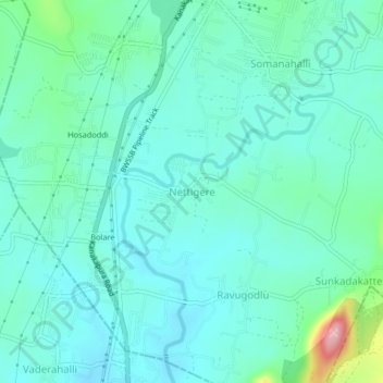
Name: Nettigere topographic map, elevation, terrain.
Location: Nettigere, Bangalore South, Bangalore Urban, Karnataka, India (12.73906 77.47521 12.77906 77.51521)
Average elevation: 728 m
Minimum elevation: 694 m
Maximum elevation: 879 m