
Ewing topographic map
Interactive map
Click on the map to display elevation.
About this map
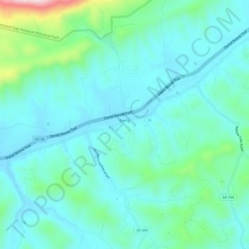
Name: Ewing topographic map, elevation, terrain.
Location: Ewing, Lee County, Virginia, United States of America (36.61552 -83.46231 36.65634 -83.40377)
Average elevation: 489 m
Minimum elevation: 418 m
Maximum elevation: 798 m