
Leer topographic map
Interactive map
Click on the map to display elevation.
About this map
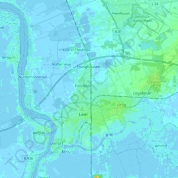
Name: Leer topographic map, elevation, terrain.
Location: Leer, Landkreis Leer, Lower Saxony, Germany (53.20294 7.36689 53.29229 7.54315)
Average elevation: 2 m
Minimum elevation: -5 m
Maximum elevation: 25 m