
Air Kuning topographic map
Interactive map
Click on the map to display elevation.
About this map
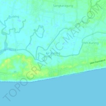
Name: Air Kuning topographic map, elevation, terrain.
Location: Air Kuning, 82218, Indonesia (-8.41638 114.62200 -8.37638 114.66200)
Average elevation: 4 m
Minimum elevation: -1 m
Maximum elevation: 15 m