
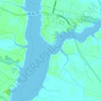
Bath topographic map
Interactive map
Click on the map to display elevation.
About this map
Name: Bath topographic map, elevation, terrain.
Location: Bath, Beaufort County, North Carolina, United States (35.45423 -76.82152 35.48065 -76.79486)
Average elevation: 3 m
Minimum elevation: -1 m
Maximum elevation: 11 m
Other topographic maps
Click on a map to view its topography, its elevation and its terrain.