
Kampung Hijrah topographic map
Interactive map
Click on the map to display elevation.
About this map
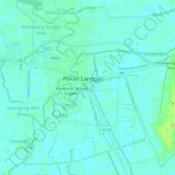
Name: Kampung Hijrah topographic map, elevation, terrain.
Location: Kampung Hijrah, Kota Setar, Kedah, 06500, Malaysia (6.12348 100.41284 6.16348 100.45284)
Average elevation: 4 m
Minimum elevation: 0 m
Maximum elevation: 13 m