
Waltham topographic map
Interactive map
Click on the map to display elevation.
About this map
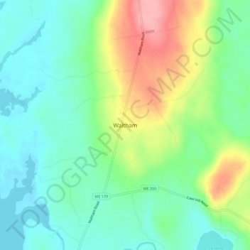
Name: Waltham topographic map, elevation, terrain.
Location: Waltham, Hancock County, Maine, United States of America (44.68924 -68.35835 44.72924 -68.31835)
Average elevation: 66 m
Minimum elevation: 26 m
Maximum elevation: 144 m