
Thank you for supporting this site ❤️
Make a donation
Make a donation
Gear up for your next adventure:
As an Amazon Associate, this site earns from qualifying purchases at no extra cost to you.
Bozburun topographic map
Click on the map to display elevation.
Thank you for supporting this site ❤️
Make a donation
Make a donation
Gear up for your next adventure:
As an Amazon Associate, this site earns from qualifying purchases at no extra cost to you.
About this map
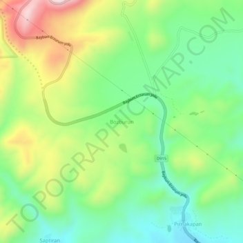
Name: Bozburun topographic map, elevation, terrain.
Location: Bozburun, Aşkale, Erzurum, Eastern Anatolia Region, Turkey (39.96857 40.53251 40.00857 40.57251)
Average elevation: 1,856 m
Minimum elevation: 1,670 m
Maximum elevation: 2,172 m
Thank you for supporting this site ❤️
Make a donation
Make a donation
Gear up for your next adventure:
As an Amazon Associate, this site earns from qualifying purchases at no extra cost to you.