
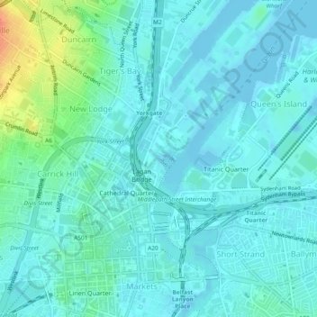
Clarendon Dock No. 1 topographic map
Interactive map
Click on the map to display elevation.
About this map
Name: Clarendon Dock No. 1 topographic map, elevation, terrain.
Average elevation: 9 m
Minimum elevation: -4 m
Maximum elevation: 46 m
Northern Ireland trails, hiking, mountain biking, running and outdoor activities
Other topographic maps
Click on a map to view its topography, its elevation and its terrain.