
Kampung Telok topographic map
Interactive map
Click on the map to display elevation.
About this map
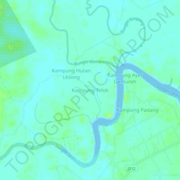
Name: Kampung Telok topographic map, elevation, terrain.
Location: Kampung Telok, Kota Tinggi, Johor, 81910, Malaysia (1.91180 104.04600 1.95180 104.08600)
Average elevation: 4 m
Minimum elevation: -5 m
Maximum elevation: 11 m