
Ål topographic map
Interactive map
Click on the map to display elevation.
Ål
The Bergen Line, the rail line between Oslo and Bergen runs through Ål. Ål Station has an elevation of 436 meters (1,430 ft) and is the halfway station on the Bergen Line.
About this map
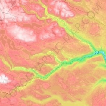
Name: Ål topographic map, elevation, terrain.
Location: Ål, Buskerud, Norway (60.47050 7.77517 60.92405 8.84388)
Average elevation: 1,023 m
Minimum elevation: 192 m
Maximum elevation: 1,854 m
Other topographic maps
Click on a map to view its topography, its elevation and its terrain.