
S7 topographic map
Interactive map
Click on the map to display elevation.
About this map
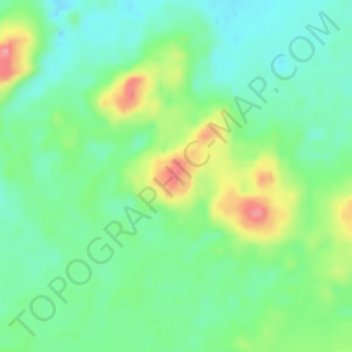
Name: S7 topographic map, elevation, terrain.
Location: S7, Matrouh, Egypt (29.01709 27.88723 29.03709 27.90723)
Average elevation: 38 m
Minimum elevation: 1 m
Maximum elevation: 114 m
Other topographic maps
Click on a map to view its topography, its elevation and its terrain.