
Kopra Village topographic map
Interactive map
Click on the map to display elevation.
About this map
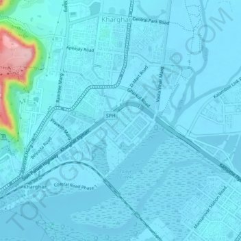
Name: Kopra Village topographic map, elevation, terrain.
Location: Kopra Village, Panvel, Raigad, Maharashtra, 400056, India (19.01569 73.05428 19.05569 73.09428)
Average elevation: 13 m
Minimum elevation: -4 m
Maximum elevation: 186 m