
Qalat topographic map
Interactive map
Click on the map to display elevation.
About this map
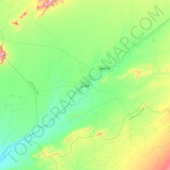
Name: Qalat topographic map, elevation, terrain.
Location: Qalat, Afghanistan (31.94336 66.74658 32.26336 67.06658)
Average elevation: 1,673 m
Minimum elevation: 1,436 m
Maximum elevation: 2,338 m