
Kampung Chan Thye Lee topographic map
Interactive map
Click on the map to display elevation.
About this map
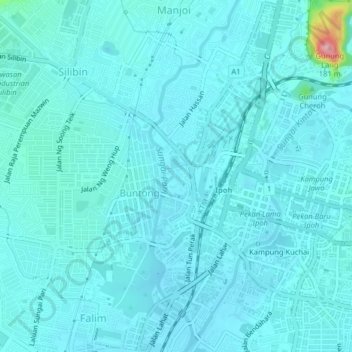
Name: Kampung Chan Thye Lee topographic map, elevation, terrain.
Location: Kampung Chan Thye Lee, Guntong, Perak, 3000, Malaysia (4.57959 101.04848 4.61959 101.08848)
Average elevation: 47 m
Minimum elevation: 33 m
Maximum elevation: 174 m