
Gallagaon topographic map
Interactive map
Click on the map to display elevation.
About this map
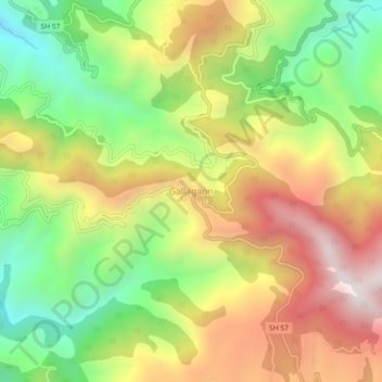
Name: Gallagaon topographic map, elevation, terrain.
Location: Gallagaon, Lohaghat, Champawat, Uttarakhand, 262524, India (29.41924 80.04287 29.45924 80.08287)
Average elevation: 1,538 m
Minimum elevation: 1,055 m
Maximum elevation: 2,075 m